O Free Trail Socorro e Archeira é um percurso sinalizado de trail running, que percorre os trilhos mais emblemáticos da Paisagem Protegida Local das Serras do Socorro e Archeira (PPLSSA).

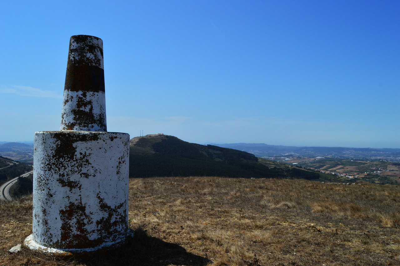
Esta área destaca-se da envolvente em termos de relevo e constitui um local onde se verifica a presença de elementos com valor patrimonial em termos naturais, históricos, culturais e paisagísticos.
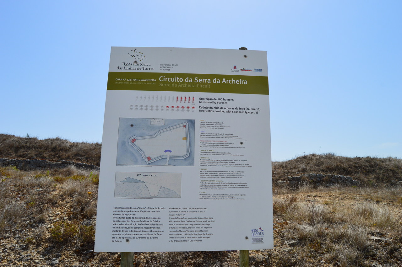
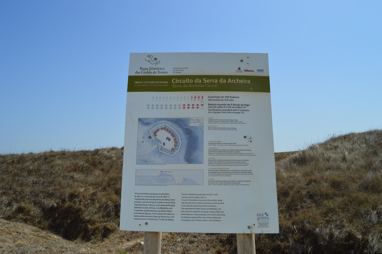
O percurso inicia e termina no Centro Interpretativo da PPLSSA, na Cadriceira, e visita o Forte da Feiteira e o Forte da Archeira, pertencentes ao sistema defensivo militar das Linhas de Torres Vedras, e ainda a Ermida de Nossa Senhora do Socorro.
Atenção: Percurso de serra com características técnicas de elevada dificuldade. Recomenda-se que os participantes se encontrem com uma preparação física e psíquica apta a esforços longos, que utilizem equipamento adequado para e de acordo com as condições climatéricas previstas e que garantam as necessidades de hidratação e alimentação para todo o percurso.
FICHA TÉCNICA DO PERCURSO
Início e final: Centro Interpretativo da PPLSSA, Cadriceira
Distância aproximada: 15 km
Desnível positivo acumulado aproximado: 950m
Grau de dificuldade: Difícil
O percurso encontra-se sinalizado, contudo, aconselha-se a orientação através de meios complementares de georreferenciação.
Folheto
- Download
 Contacte-nos


