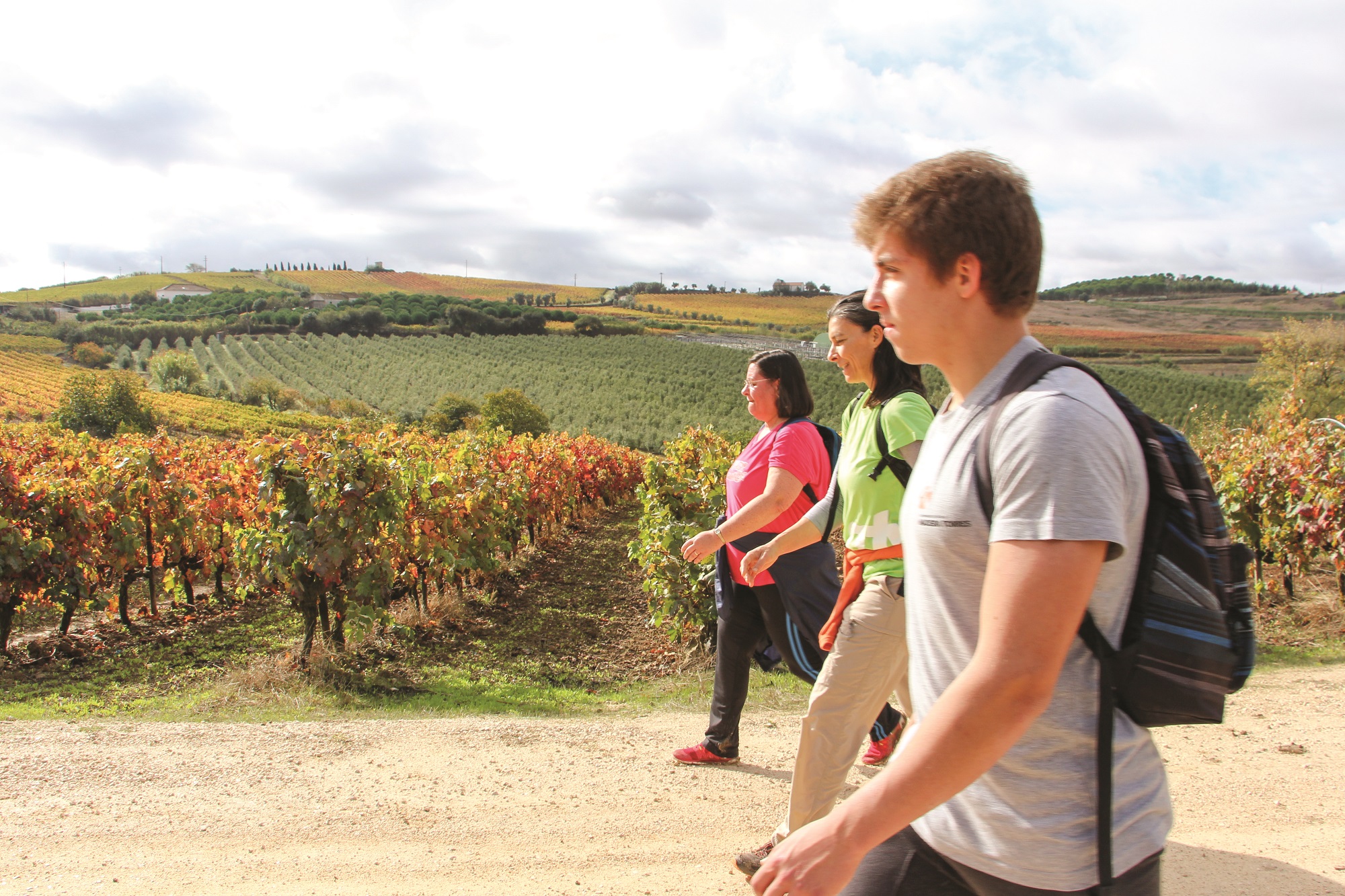
A Rota das Lapas é um percurso circular com uma extensão de 16 km, que engloba duas alternativas, tendo como principal ponto de interesse a Quinta das Lapas, uma das mais belas quintas da região.

O percurso desenvolve-se em torno das localidades de Monte Redondo e Matacães, englobando duas alternativas: o PR3.1 com cerca de 8 km e o PR3.2 com 11 km.
Eucaliptais, vinhas, casas seculares, uma ponte romana, fontes, moinhos, aves, pedreiras, uma guarita militar da época das invasões francesas e património religioso são elementos que se podem encontrar ao longo da Rota das Lapas.
De referir, relativamente à quinta que dá nome a este percurso, que, sendo classificada pelo Instituto Português do Património Arquitetónico - IPPAR como bem imóvel de interesse público, o seu conjunto de casas e jardins representa um dos exemplos mais significativos dos efeitos teatrais perseguidos pela arquitetura civil barroca, inspirada em modelos eruditos do Renascimento italiano.
Características do percurso
Localização:
- Concelho: Torres Vedras
- Santa Maria, São Pedro e Matacães e União das Freguesias de Maxial e Monte RedondoAcessos:
- EM 575: Monte Redondo » Matacães
- EN 115-2: Torres Vedras » Monte Redondo
- EN9: Torres Vedras » AlenquerTipo de percurso: Circular
Pontos de partida:
- Lapas Grandes (Quinta das Lapas)
- Matacães (junto à Junta da Freguesia)
- Monte Redondo (junto à Igreja Matriz)Distância: 16 km
Desníveis acumulados: +303 m; -303m
Altitude:
- Máxima: 303 m
- Mínima: 63 mDuração: 5 horas
Graus de dificuldade:
- PR3: Média
- PR3.1: Fácil
- PR3.2: MédiaÉpoca aconselhada: Todo o ano
Cartografia: Carta Militar de Portugal, série M 888, folha n.º 375- Instituto Geográfico do Exército
Tendo em conta a possibilidade permanente de vandalismo da sinalização do percurso pedestre, aconselha-se a orientação através de meios complementares (folheto ou gps).
Folheto
- Download do Folheto PDF
Online
PR3
- ALLTRAILS
- WIKILOC
- GPX
- KML
 Contacte-nos
