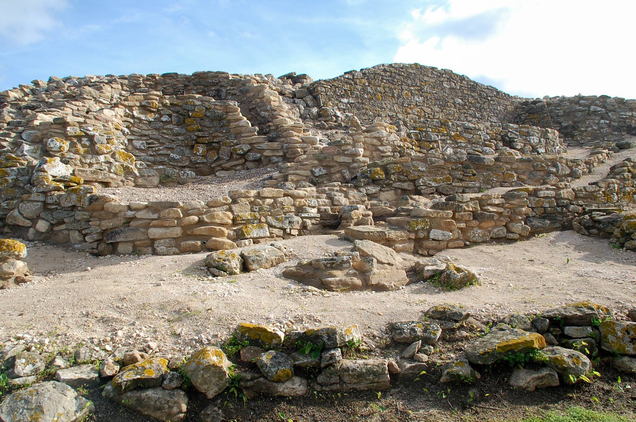
A Rota do Castro do Zambujal é um percurso circular com 16 km, que inclui uma derivação, desenvolvendo-se nos arredores de Torres Vedras e tendo como principal ponto de interesse o sítio arqueológico que lhe dá nome.

Vinhedos, o antigo Sanatório do Barro, a estátua de Nossa Senhora da Pena, o Tholos do Barro e o Convento do Varatojo são outros elementos que se podem avistar ao longo deste percurso pedestre.
De referir, relativamente ao Castro do Zambujal, que se trata de um povoado fortificado da Idade do Cobre, datado do 3.º milénio a.C., que teve ocupação humana ao longo de, pelo menos, 800 anos, situando-se num esporão rochoso na margem direita da Ribeira de Pedrulhos, afluente do Rio Sizandro. Descoberto em 1932 por Leonel Trindade, tem sido escavado desde a década de 60 pelo Instituto Arqueológico Alemão.
Características do percurso
Localização:
- Concelho: Torres Vedras
- Santa Maria, São Pedro e MatacãesAcessos:
- A8: Lisboa » Torres Vedras » Leiria
- EN 8-2: Torres Vedras » Lourinhã » Peniche
- EN 8: Malveira » Torres Vedras » Bombarral
- EN 115: Torres Vedras » Cadaval
- EN 9: Alenquer » Torres Vedras » MafraTipo de percurso: Circular
Ponto de partida e chegada: Parque Verde da Várzea (Torres Vedras)
Distâncias: 13 km
Desníveis acumulados: 430 m
Altitude:
- Máxima: 185 m
- Mínima: 27 mDuração: 3h30
Grau de dificuldade: Média
Época aconselhada: Todo o ano
Cartografia: Carta Militar de Portugal, na escala 1/25 000, série M, folha n.º 374, do Instituto Geográfico do Exército
Tendo em conta a possibilidade permanente de vandalismo da sinalização do percurso pedestre, aconselha-se a orientação através de meios complementares (folheto ou gps).
Folheto
- Download do Folheto (Exterior) PDF
- Download do Folheto (Interior) PDF
 Contacte-nos
