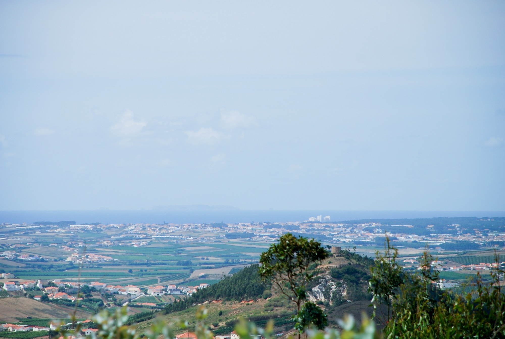
A Rota do Vento é um percurso circular que se desenvolve maioritariamente na freguesia da Freiria, podendo ser percorrido parcialmente em itinerários de 8 km (em direção aos Chãos) e de 6 km (em direção à Serra da Romã e à Serra do Romeirão).

Património religioso, casas senhoriais, quintas antigas, vinhas, moinhos e fontes são elementos que se podem encontrar ao longo do percurso pedestre Rota do Vento, o qual permite desfrutar da tranquilidade campestre.
De realçar que nas referidas serras encontra-se das mais belas paisagens da região, nas quais se avistam velhos moinhos de vento, novos moinhos eólicos, uma vegetação em que predominam eucaliptos e pinheiros e, inclusivamente, a distante costa da região.
Características do percurso
Localização:
- Concelho: Torres Vedras
- Freguesia: FreiriaAcessos: Pela Auto-Estrada A8, sair na Malveira e seguir a indicação de Torres Vedras pela Estrada Nacional 8. Depois de passar a localidade de Freixofeira, virar à direita em direção a Colaria/Freiria e apanhar a Estrada Municipal 554 até Freiria
Tipo de percurso: Circular
Ponto de partida e chegada: Largo da Igreja de São Lucas
Distância total a percorrer: 14 km
Desníveis acumulados: + 259m, -271m
Altitude:
- Máxima: 194 m
- Mínima: 43 mDuração: 4 horas
Grau de dificuldade: Média
Época aconselhada: Todo o ano
Cartografia: Carta Militar de Portugal, na escala 1/25 000, série M 888, folhas n.º 374 e 388, do Instituto Geográfico do Exército
Tendo em conta a possibilidade permanente de vandalismo da sinalização do percurso pedestre, aconselha-se a orientação através de meios complementares (folheto ou gps).
Folheto
- Download do Folheto (PDF)
 Contacte-nos
