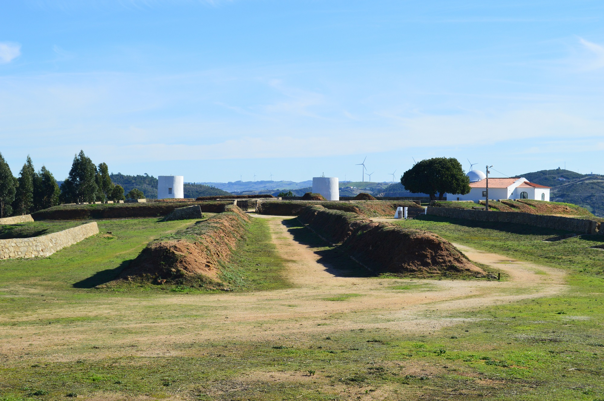
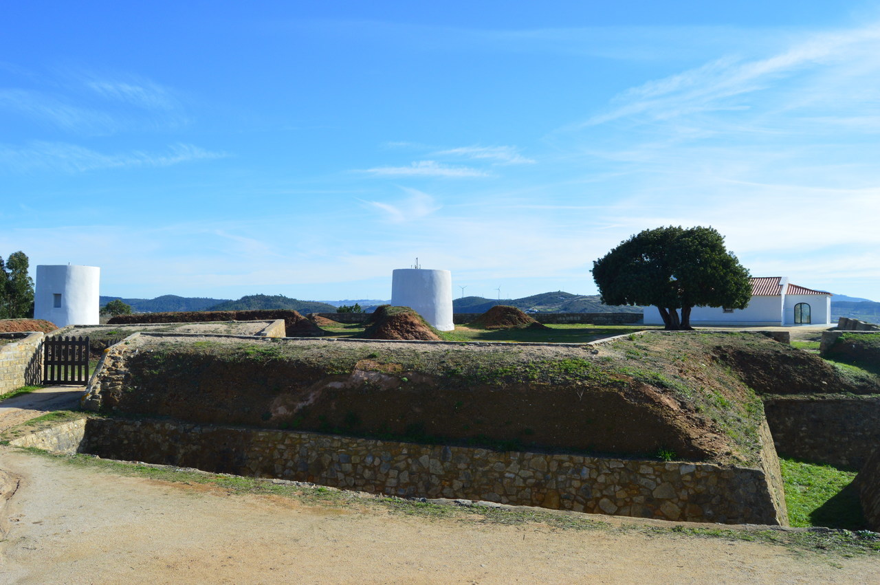
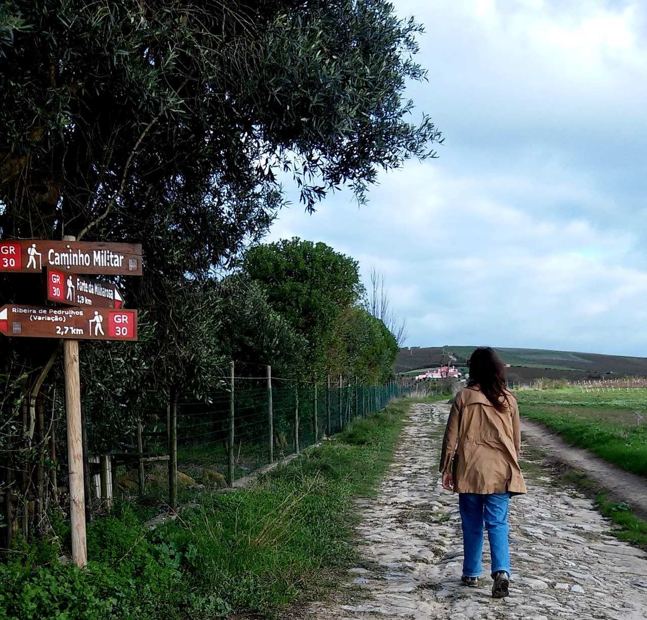
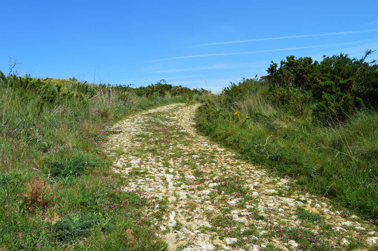
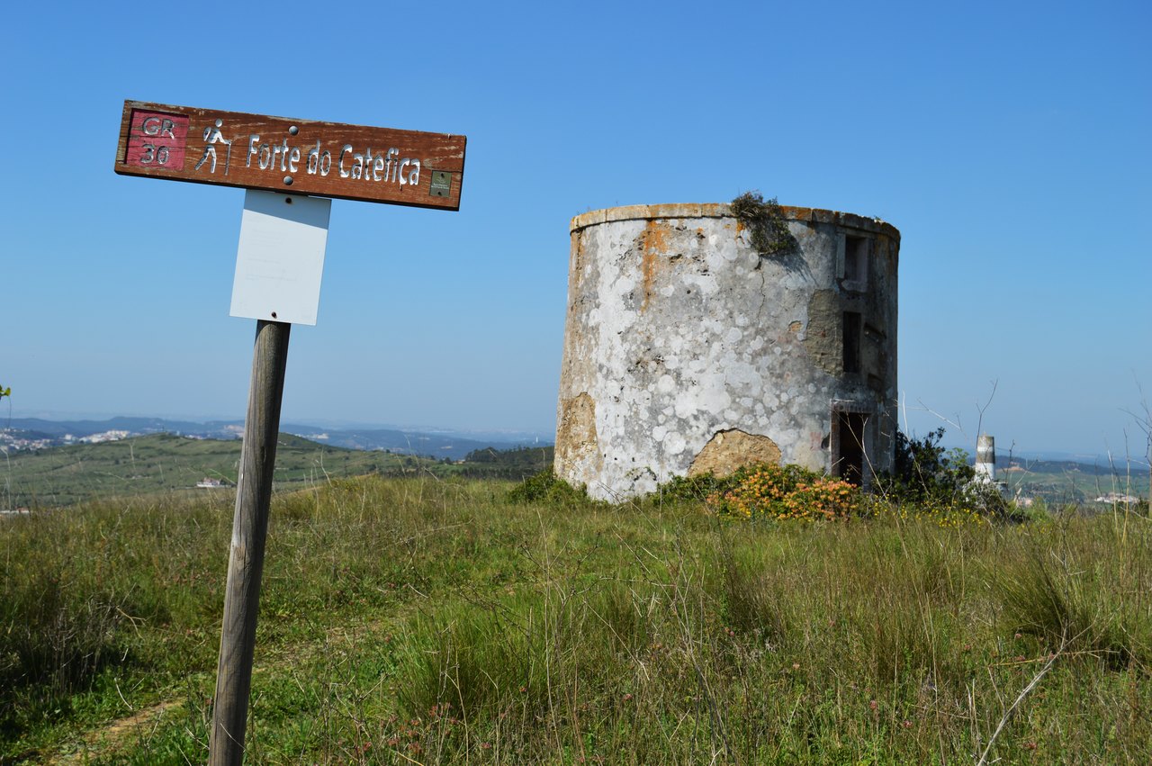
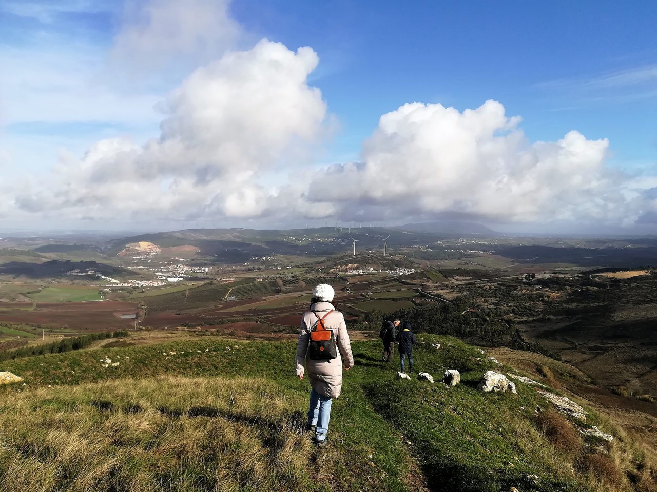
O troço da Grande Rota das Linhas de Torres que se encontra no concelho de Torres Vedras tem uma extensão de 112 quilómetros, é formado por dois troços circulares e permite conhecer as principais edificações deste sistema defensivo situadas no Concelho, assim como recursos naturais e culturais do mesmo.

A Grande Rota das Linhas de Torres (GR 30), é um percurso pedestre criado no âmbito da Rota Histórica das Linhas de Torres, que abrange o território dos seis municípios: Arruda dos Vinhos, Loures, Mafra, Sobral de Monte Agraço, Torres Vedras e Vila Franca de Xira.
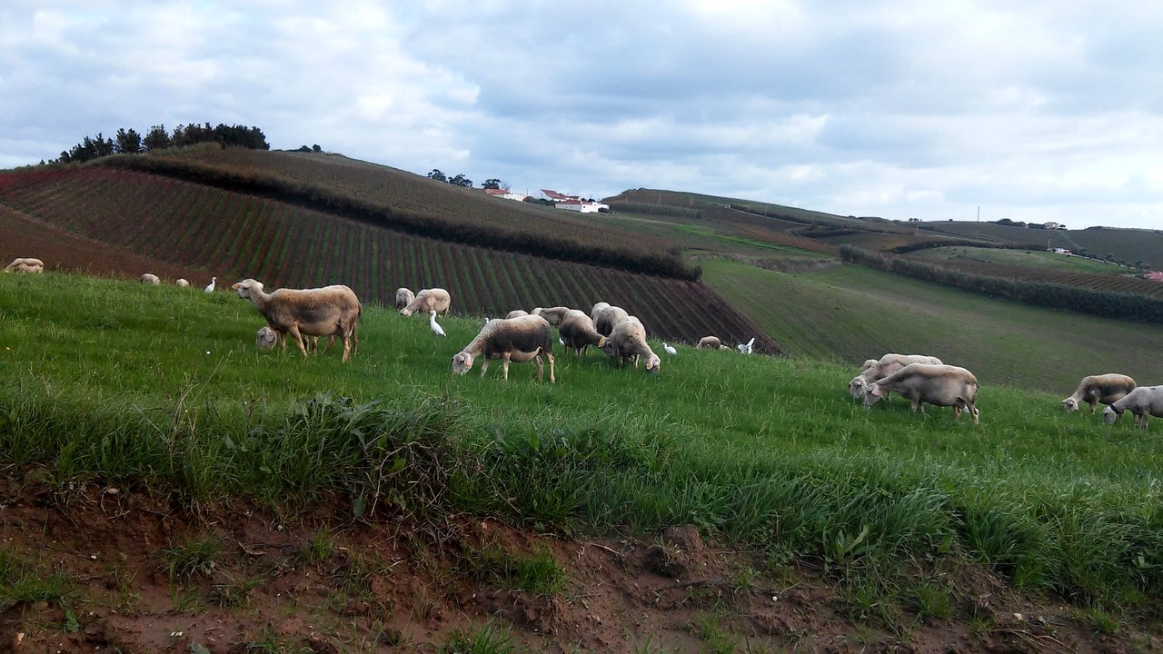
O troço concelhio de Torres Vedras desenvolve-se por montes e vales, caminhos tradicionais e troços de estradas militares, com alguns desníveis a vencer, permitindo aos caminheiros conhecer as principais edificações das Linhas de Torres, assim como os recursos naturais, culturais e patrimoniais do território.
Características do percurso
· Localização:
- Concelho: Torres Vedras
- Freguesias: União de Freguesias de Carvoeira e Carmões, União de Freguesias de Dois Portos e Runa, Santa Maria, São Pedro e Matacães, União de Freguesias de Maxial e Monte Redondo, Ponte do Rol, Silveira, São Pedro da Cadeira, Turcifal e Ventosa
· Tipo de percurso: Misto (linear e circular)
· Pontos de partida e chegada:
- Forte de São Vicente (Torres Vedras)
- Foz do Rio Sizandro
- Parque Verde da Várzea (Torres Vedras)
- Serra do Socorro
· Distância total: 112 Km
(Esta distância considera ligação ao troço do Sobral de Monte Agraço e troço de Mafra e a ligação do Forte do Grilo à Estrada Militar, na zona do Bonabal)
· Distâncias parcelares:
- 29km | Forte São Vicente > Forte da Ordasqueira > Serra do Socorro
- 17km | Serra do Socorro > Castro do Zambujal > Forte de São Vicente
- 21km | Forte São Vicente > Forte do Grilo > Foz do Rio Sizandro
- 26km | Foz do Rio Sizandro > Castro do Zambujal > Forte de São Vicente
· Desníveis acumulados: 2.350 m
· Altitude:
- Máxima: 395 m
- Mínima: 5 m
· Duração: 2 dias (totalidade do troço)
· Grau de dificuldade: Médio/DIifícil
· Época aconselhada: Todo o ano
· Cartografia: Carta topográfica 1:25.000, série M 888 nos 374, 375 e 389
O troço entre a EN9 e a Serra do Barrigudo (Runa – Aldeia Nossa Srª da Glória) está interrompido. A alternativa está indicada nos links abaixo indicados.
Tendo em conta a possibilidade permanente de vandalismo da sinalização do percurso pedestre, aconselha-se a orientação através de meios complementares (folheto ou gps).
Folheto
- Download do Folheto (PDF)
GPS
Troço Forte de São Vicente – Foz
- ALLTRAILS
- WIKILOC
- GPX
- KML
Troço Torres Vedras - Serra do Socorro
- ALLTRAILS
- WIKILOC
- GPX
- KML
 Contacte-nos
